Current Temperature 71℉ High today 78℉ / Low tonight 59℉
Winds at 3 m.p.h.
Chance of Precipitation 0%
Relative Humidity 42%
Barometric Pressure 30.11 inHg
Dew Point 47℉
Visibility 10.00 miles
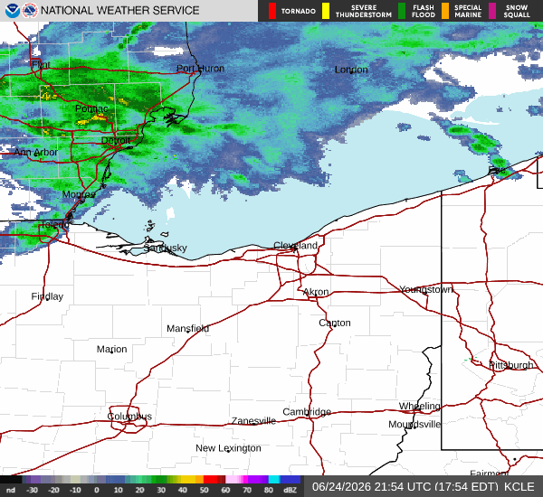
As of the 24th of Jun 12:51 p.m. EDT
Partly cloudy, with a low around 59. Calm wind becoming south around 5 m.p.h. after midnight.
Thursday High 80℉
Chance of Showers then Showers
Showers and thunderstorms before 4 p.m., then showers and possibly a thunderstorm, mainly after 4 p.m. High near 80. Southwest wind 7 to 13 m.p.h. Chance of precipitation is 80%. New rainfall amounts between a tenth and quarter of an inch, except higher amounts possible in thunderstorms.
Thursday Night Low 60℉
Showers Likely then a Chance of Showers
Showers and thunderstorms likely before 11 p.m., then a chance of showers. Mostly cloudy, with a low around 60. Southwest wind 5 to 7 m.p.h. becoming calm in the evening. Chance of precipitation is 60%. New precipitation amounts between a tenth and quarter of an inch, except higher amounts possible in thunderstorms.
Friday High 77℉
Showers Likely
Showers likely, with thunderstorms also possible after 5 p.m. Mostly cloudy, with a high near 77. Calm wind becoming south around 5 m.p.h. in the afternoon. Chance of precipitation is 60%. New rainfall amounts between a quarter and half of an inch possible.
Friday Night Low 61℉
Showers Likely
Showers likely and possibly a thunderstorm. Mostly cloudy, with a low around 61. Chance of precipitation is 70%. New precipitation amounts between a tenth and quarter of an inch, except higher amounts possible in thunderstorms.
Saturday High 80℉
Chance of Showers
A chance of showers before 2 p.m. Partly sunny, with a high near 80. Chance of precipitation is 30%.